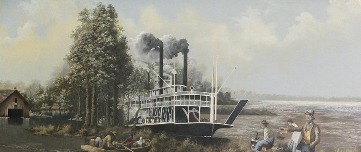
THE FLOOD OF 1882
LEVEE HISTORY
THE GREAT FLOOD OF 1882
The creation of the new Yazoo-Mississippi Delta Levee District was, in fact, a reaction to the great flood of 1882. That calamity has been described as "probably the most destructive flood in the recorded history of Mississippi River overflow". The flood crest came in two waves, cresting in early February and again in late February. Flood stages continued for 91 days in New Orleans. It was estimated that 284 crevasses with a combined length of 56.1 miles formed in the main line of Mississippi River levees that bordered the Delta.
In the upper Yazoo Mississippi Delta, where levees had been neglected if not abandoned for a decade or more, entire levees washed away for miles. One official report said that, "At the height of the flood, the water discharged over the top of the levee in almost one continuous sheet from a point below Commerce (in Tunica County) to the railroad embankment back of Glendale (in Coahoma County), then at frequent intervals as far as Island No. 64".
If the situation was grave along the South Delta river front, where the Mississippi Levee Commission had been operating since 1865, it was catastrophic in the Upper Delta where post-war efforts to reorganize an effective flood control program had met with no success.
After the tragedy of 1882, the Mississippi Levee Commission again appealed to its neighbors to the north and east to join in a unified levee district which could work to seal off the Delta, from Memphis to Vicksburg, with a continuous line of levees.
The experience of 1882 had convinced the unorganized counties that some plan of action was imperative. Additional floods in 1883 and 1884 served to strengthen that conviction. Even so, residents in the "northern" and "inland" counties again chose to go their separate ways. They moved to establish a new levee district, apart from but working in concert with the Mississippi Levee Commission toward a mutual goal—one which was believed could produce great benefits for the entire region.


